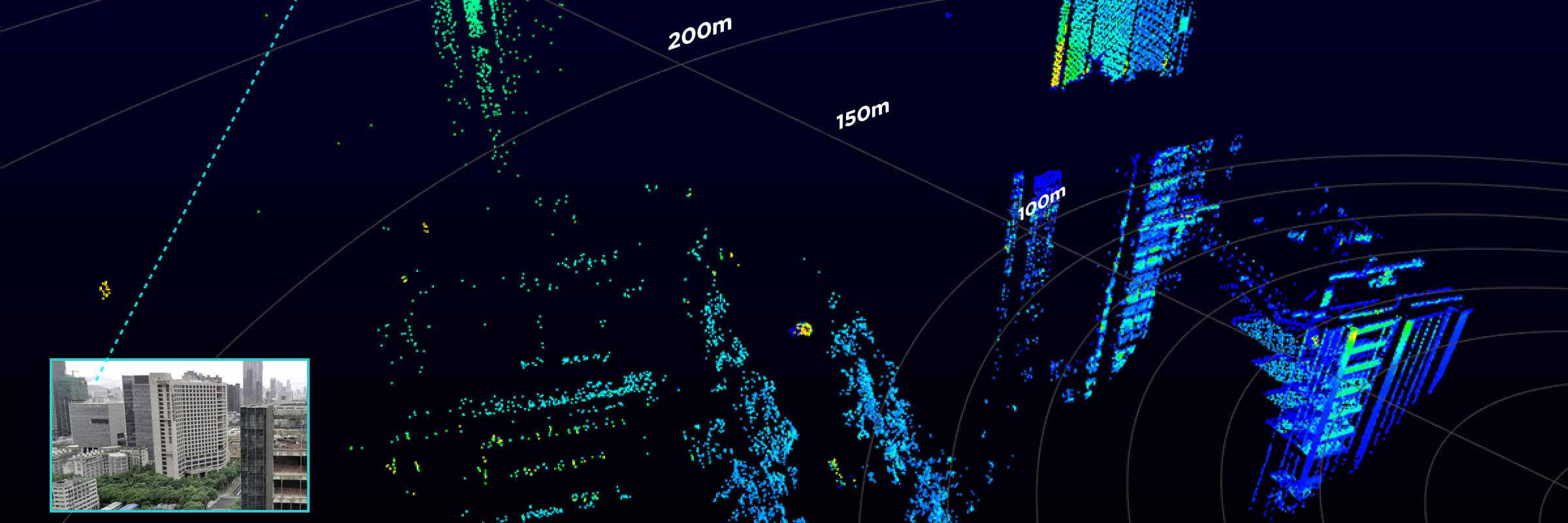
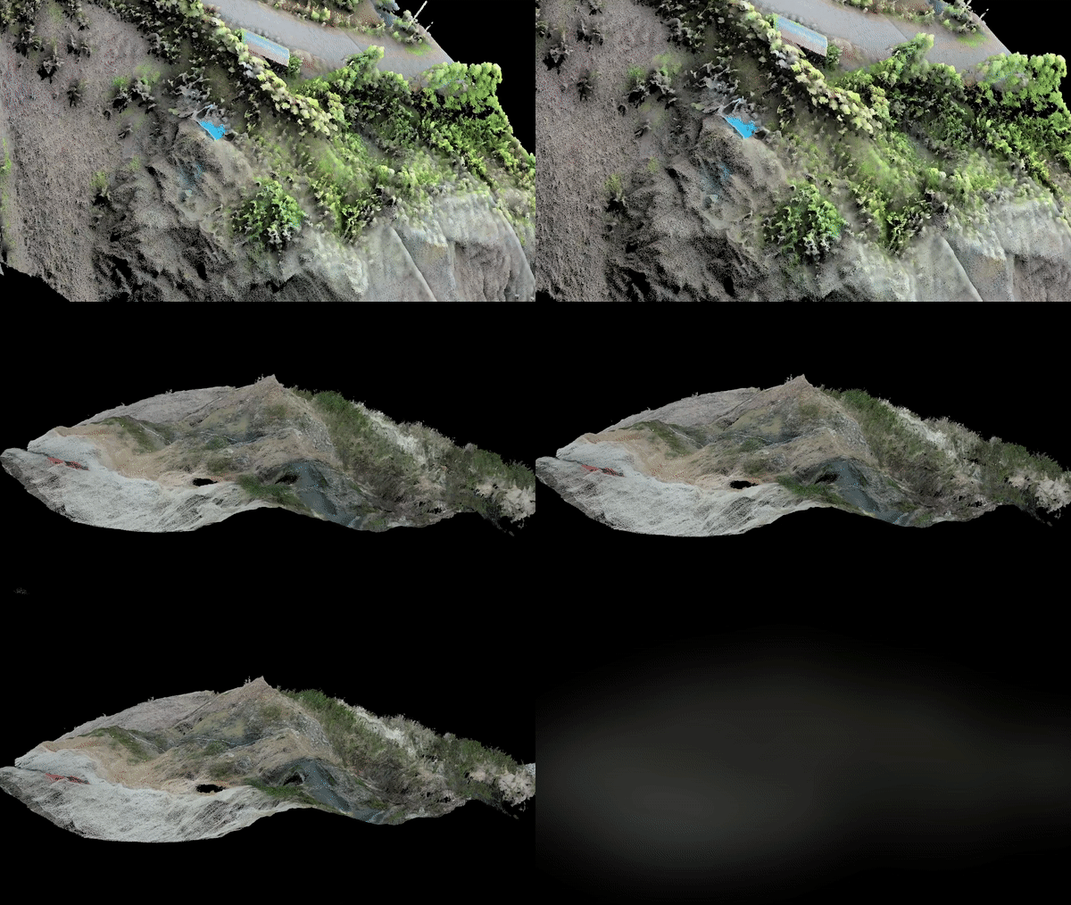
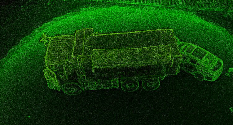
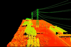
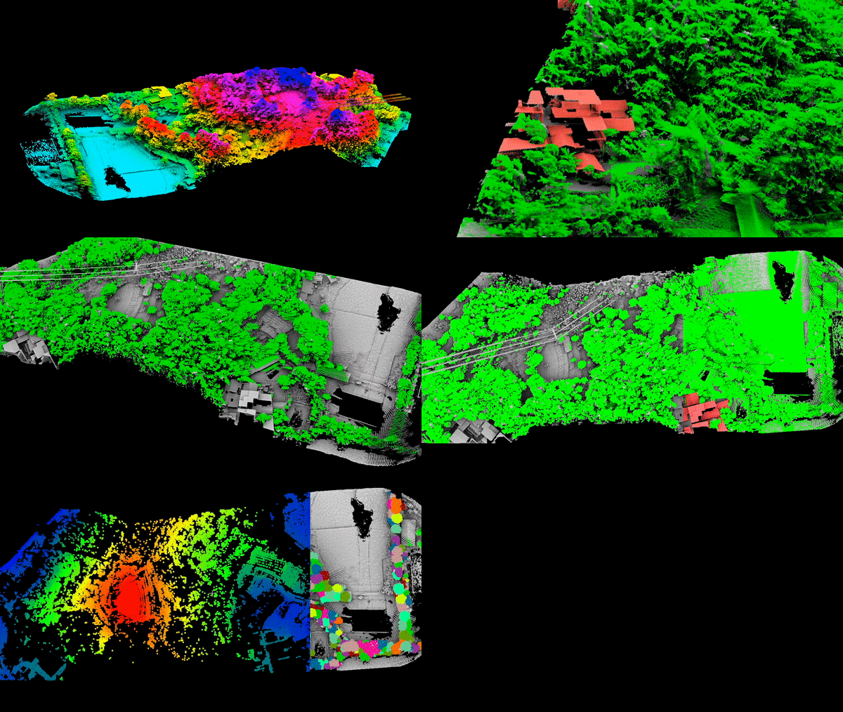
Light Detection and Ranging (LiDAR) sensors use light energy emitted by a laser to scan the ground and measure distances. The end result is a comprehensive set of elevation data that can be used to produce high-resolution maps and 3D models of objects.
Two types of LiDAR are commonly used. The first, topographic, uses a near-infrared laser to map land areas. The second, bathymetric, uses a green transmitted light to map underwater terrain. LiDAR is useful because it is accurate and fast and can be used at any location where the structure and shape of the earth's surface needs to be determined.
Compared to other aerial survey methods, drone-based LiDAR collection provides the most reliable data. The point cloud generated by drone-based LiDAR can yield 100-500 points per square metre at a vertical height accuracy of 2-3 centimetres.


 EN
EN  NL
NL  FR
FR  DE
DE  ES
ES