What is a multispectral sensor?
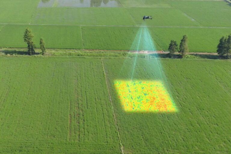
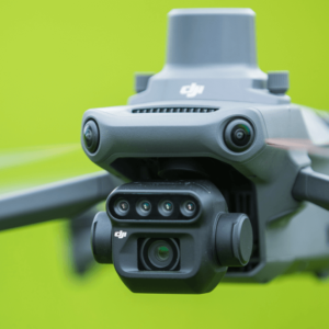
Multispectral sensors are able to detect and capture different bands of the electromagnetic spectrum. This allows them to collect information invisible to the human eye, such as infrared and ultraviolet light.
Below, the tyres and their functions are explained. In doing so, we have taken into account the applications in precision agriculture.
- Visible light (400-700 nanometres)
- This is the light we can see with the naked eye. Multispectral sensors can detect and capture this light, giving farmers information about the colour and reflectance of crops. This information can be used to determine whether crops are healthy and getting enough nutrients.
- Near-infrared (NIR) light (700-1300 nanometres)
- NIR light is mainly used to measure chlorophyll content in crops. Chlorophyll is the green pigment that plants use to carry out photosynthesis. By measuring the NIR reflectance of leaves, farmers can determine plant health and detect any nutrient deficiencies.
- Red Edge (690-750 nanometres)
- The Red Edge band lies between visible and NIR light and is often used to measure the photosynthetic activity of crops. This can help determine plant growth and development.
- Shortwave Infrared (SWIR) light (1300-2500 nanometres)
- SWIR light is used to measure soil composition and to determine whether crops are adequately watered. SWIR reflectance can also be used to measure moisture content in crops and to distinguish weeds from crops.
- Thermal Infrared (TIR) light (8000-14000 nanometres)
- TIR light is used to measure crop and soil temperature. This can help determine whether crops are getting enough water and whether there is stress.
Each band provides specific information on crop health and growth, allowing farmers to optimise farming practices and maximise yields. By using multispectral sensors on drones, farmers can map the health of their crops more efficiently and accurately, leading to more sustainable farming.


 EN
EN  NL
NL  FR
FR  DE
DE  ES
ES