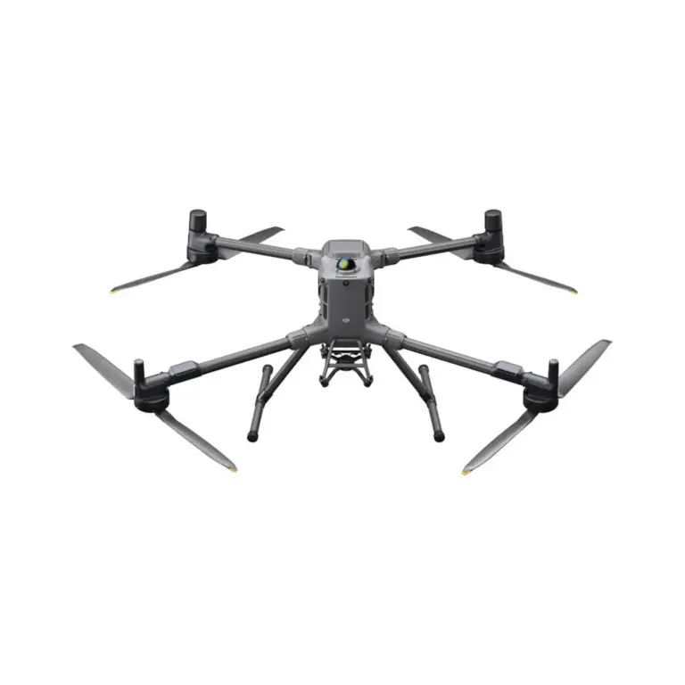
The DJI D RTK2 is a high-precision GNSS system designed to improve the performance of industrial and enterprise drones. With its precision, it provides centimetre accuracy, making it ideal for applications such as surveying, mapping and construction. Whether you are working on complex projects or need reliable positioning data, the D RTK2 offers seamless integration with DJI drones to deliver accurate results every time.


 EN
EN  NL
NL  FR
FR  DE
DE  ES
ES