DJI-ENTERPRISE.png

DJI Mavic 3 Multispectral

The DJI Mavic 3 Multispectral is designed to meet the high demands of professionals in agriculture, environmental science, construction and more. With its advanced features, this drone addresses today's challenges and tomorrow's opportunities

Content

About the DJI Mavic 3 Multispectral

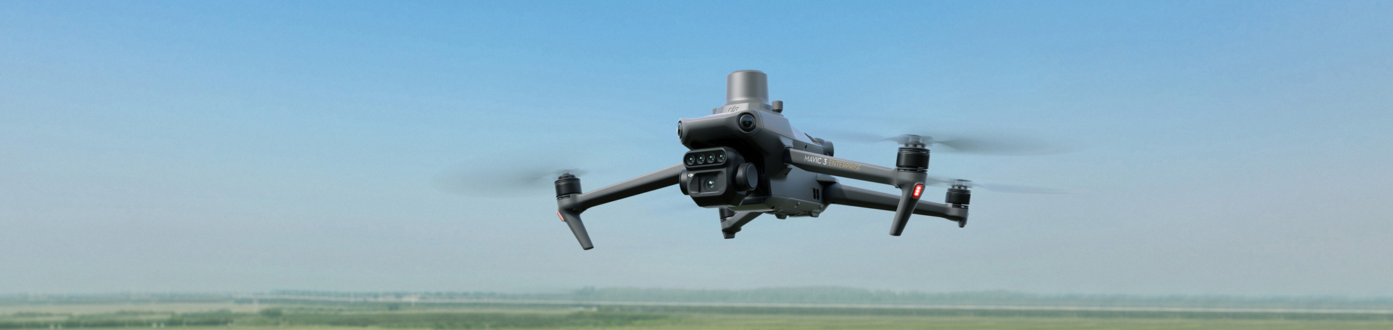
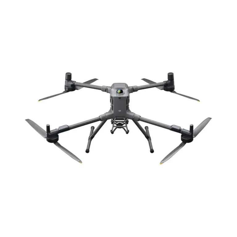
On 23 November 2022, DJI introduced the DJI Mavic 3 Multispectral. The DJI Mavic 3 Multispectral features a multispectral imaging system that quickly captures crop growth information to achieve more effective crop production. It is an essential solution for a wide range of application areas in precision agriculture and environmental monitoring.

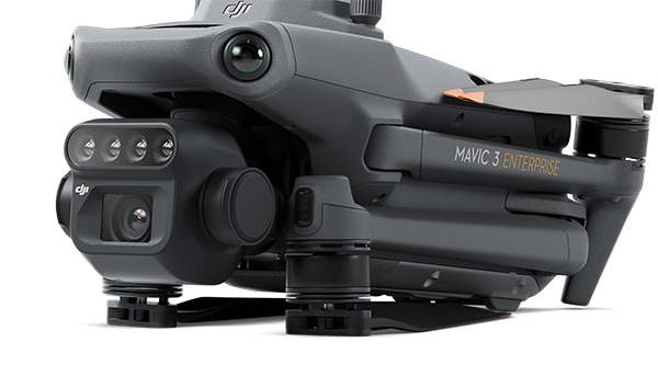
The Mavic 3 Multispectral represents a new era of portability. Based on the design of DJI's flagship consumer drone, the Mavic 3 Multispectral weighs only 951 grams and can be easily folded and carried in a regular bag, allowing users to perform their tasks anywhere and anytime.

The DJI Mavic 3 Multispectral

Highlights of the DJI Mavic 3 Thermal

Very compact

Safe & stable

Multispectral camera

Precise positioning

RGB camera

Super efficient

Introducing the DJI Mavic 3 Multispectral [VIDEO]

RGB and multispectral sensors

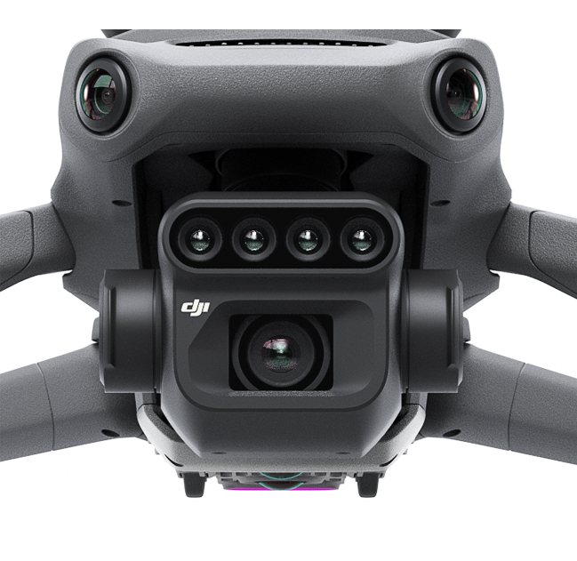
Mavic 3 Multispectral, also known as Mavic 3M, uses a two-part camera system to collect a wide range of information that users can convert into results in the field.

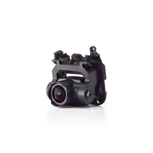
The RGB camera is equipped with a 4/3-inch CMOS and 20MP image sensor and mechanical shutter with a maximum speed of 1/2000. It can take high-speed continuous shots at the fastest interval of 0.7 seconds and can quickly collect image information, greatly improving the efficiency of field operations.

In addition to the RGB camera, a four-lens multispectral camera provides more accurate directional information, allowing users to gain a deeper understanding of crop conditions by detecting details that the human eye cannot perceive. Each of the four multispectral cameras can capture and scan 5 million pixels for the following wavelengths:

  • Green (G): 560nm ± 16nm
  • Red (R): 650 nm ± 20 nm
  • Red edge (RE): 730 nm ± 20 nm
  • Near infrared (NIR) 860 nm ± 26 nm

By combining these two cameras, Mavic 3M enables applications such as high-quality aerial surveys, crop growth monitoring and natural resource monitoring.


DJI Mavic 3 Multispectral in action

RTK Positioning at centimetre level

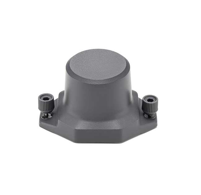
The DJI Mavic 3 Multispectral features an RTK module that achieves centimetre-level positioning. The drone, camera and RTK module are synchronised at the microsecond level to accurately obtain image centre position information from each camera. This enables Mavic 3M to perform high-quality aerial surveys without using ground control points. And with a battery life of up to 43 minutes, Mavic 3M can complete survey and mapping operations of an area of up to 2 square kilometres in a single flight.
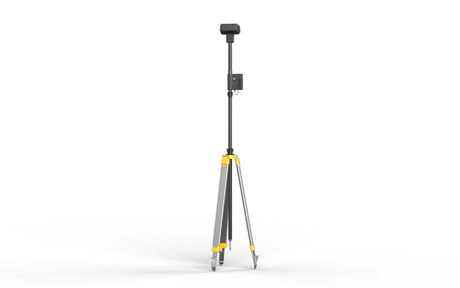
DJI D-RTK 2 Mobile Station

Designed for safer use

The DJI Mavic 3 Multispectral is equipped with O3 video transmission, which integrates two channels of transmitting signals and four channels of receiving signals and supports a transmission distance of 15 kilometres. For added safety, the DJI Mavic 3 Multispectral is equipped with omnidirectional obstacle detection to detect and accurately avoid obstacles in all directions.
en_GBEnglish

info@koningdrone.be